

Businesses » Yate and Chipping Sodbury area
We regularly contact the 690 organisations in our Yate and Chipping Sodbury guide to keep their details up-to-date.
Click on a category to find businesses serving Yate and Chipping Sodbury
C
Things to Do
What's coming up in the Yate and Chipping Sodbury area?
Be the first to add your event!
Get lots of attention.
Street maps for where you live
View street maps of Yate, Chipping Sodbury, Wickwar & Iron Acton
The street maps for the Yate and Chipping Sodbury area have been drawn by our talented team at Standbrook Guides. We regularly check and update the maps by visiting the area.
Photos around Yate
-
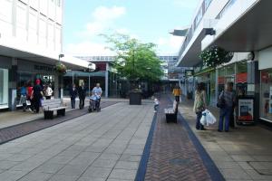
West Walk, Yate
-
Brimsham Fishing Lakes
-
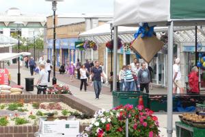
Yate Shopping Centre, Square, Yate
-
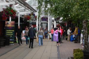
Yate Shopping Centre, East Walk, Yate
-
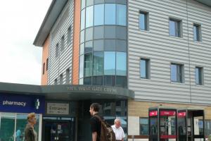
Yate Health Centre
-
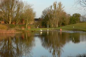
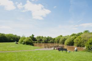
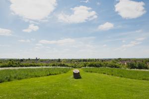
Kingsgate Park, Yate
-
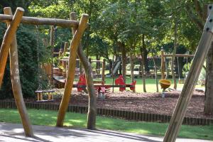
Kingsgate Park, Yate
-

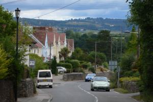
Kingsgate Park View
-
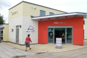
Library, Yate
-
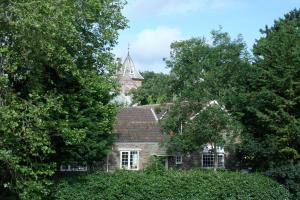
St Mary's Church, Yate
-
Standbrook Guides Office, Yate
-
Station Road, Yate
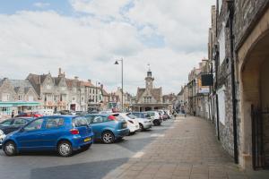
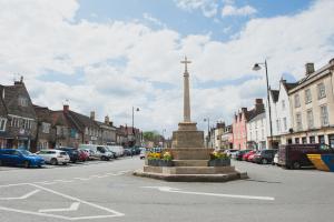
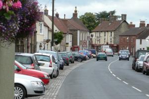
Photos around Chipping Sodbury
-
Chipping Sodbury, Clock Tower
-
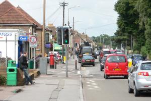
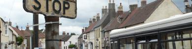
Bottom of the High Street
-
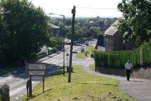
Bowling Hill, Chipping Sodbury
-
-
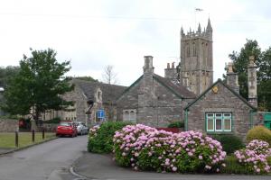
Overview of Chipping Sodbury
-
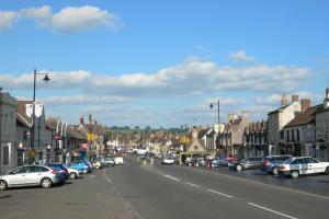
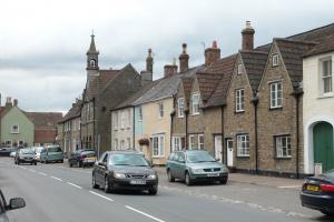
Chipping Sodbury High Street
-
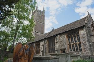
John the Baptist Church, Chipping Sodbury
-
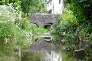
River Frome, Chipping Sodbury
-
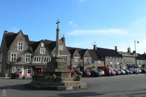
War Memorial, Chipping Sodbury
Photos around Wickwar
-
Wickwar Road
-
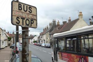
The Bus Stop, Wickwar
-
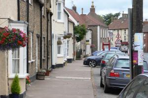
Wickwar High Street
-
Station Road, Wickwar
-
Wickwar Town Hall
Facts about Yate

Yate, South Gloucestershire is a vibrant new town adjoining the quintessential market town of Chipping Sodbury. Yate is located 11 miles north east of Bristol and 15 miles north of Bath with very easy access to the M4 and M5 motorways. Regular public transport is available from the railway station and bus station.
A large modern shopping centre including major supermarkets lies at the centre of Yate with many busy independent shops less than a mile away in Chipping Sodbury as shown on our map of Yate and Chipping Sodbury. There are also hundreds of local businesses listed on this site and offering almost every conceivable service to residents.
All the main public services are available locally with a great number of community activities, clubs and organisations for all age groups. There is a large leisure centre; outdoor sports centre, nearby football, cricket and rugby clubs and several community centres. Many schools are located within the Yate and Chipping Sobury area including three secondary schools. All these details can easily be found within this website under the headings of Public Services, Clubs and Organisations and Local Businesses
| Postcode District | BS37 |
|---|---|
| Dialling Code | 01454 |
| Local MP | Luke Hall |
| Nearest A&E | Southmead |
Facts about Chipping Sodbury

Chipping Sodbury, South Gloucestershire is a quintessential market town adjoining the vibrant new town Yate. Chipping Sodbury is located 12 miles North East of Bristol and 14 miles North of Bath with very easy access to the M4 and M5 motorways. Ample public transport is available with regular bus services and a railway station close by in Yate.
Chipping Sodbury has a busy shopping centre with many intriguing, independent shops along the High Street, Broad Street and Horse Street. Less than a mile awayin the centre of Yate there is a large modern shopping centre including major supermarkets as shown on our map of Yate and Chipping Sodbury. There are also hundreds of local businesses listed on this site and offering almost every conceivable service to residents.
All the main public services are available locally with a great number of community activities, clubs and organisations for all age groups. On the Ridings there are football, cricket, rugby, tennis and golf clubs. In Yate, there is large leisure centre with swimming pools and there is also an outdoor sports centre. Many schools are located within the Yate and Chipping Sodbury area including three secondary schools. All these details can easily be found within this website under the headings of PUBLIC SERVICES, CLUBS AND ORGANISATIONS and LOCAL BUSINESSES
| Postcode District | BS37 |
|---|---|
| Dialling Code | 01454 |
| Local MP | Luke Hall |
| Nearest A&E | Southmead |
Facts about Wickwar
Wickwar, South Gloucestershire is a small rural town of about 2,000 residents just 4 miles north of Yate and Chipping Sodbury and 4 miles south of Wotton-under-Edge. Wickwar is 16 miles from Bristol with easy access to the M4 and M5 motorways and a regular bus service to Yate and Chipping Sodbury.
Wickwar has a local school, community centre, social club, football and cricket clubs and has access to all the services of the Yate and Chipping Sodbury area. The Wickwar Brewing Company, now well established, produces the famous BOB beer or Brand Oak Bitter and draws customers from all over South Gloucestershire and beyond.
Nearby Yate offers a large modern shopping centre, leisure centre, swimming pool, bus station and railway station while Chipping Sodbury is a busy market town with charm and many intriguing, independent shops in the main street. There are also hundreds of local businesses listed on this site and offering most services to the residents of Wickwar.
All the main public services are available within the Wickwar, Yate and Chipping Sodbury area with a great number of community activities, clubs and organisations for all age groups. All these details can easily be found within this website under the headings of Public Services, Clubs and Organisations and Local Businesses
| Postcode District | GL12 |
|---|---|
| Dialling Code | 01454 |
| Local MP | Luke Hall |
| Nearest A&E | Southmead |
Facts about Iron Acton
Iron Acton, South Gloucestershire is a little village located 10 miles north east of Bristol and 16 miles north of Bath with very easy access to the M4 and M5 motorways. Regular public transport is available from the railway station and bus station. A large modern shopping centre including major supermarkets lies at the centre of Yate which is just a short drive from Iron Acton. Yate has many busy independent shops and is less than a mile away in Chipping Sodbury as shown on our map of Yate and Chipping Sodbury. There are also hundreds of local businesses listed on this site and offering almost every conceivable service to residents. All the main public services are available locally with a great number of community activities, clubs and organisations for all age groups. There is a large leisure centre; outdoor sports centre, nearby football, cricket and rugby clubs and several community centres. Many schools are located within the Yate and Chipping Sobury area including three secondary schools. All these details can easily be found within this website under the headings of Public Services, Clubs and Organisations and Local Businesses
| Postcode District | BS37 |
|---|---|
| Dialling Code | 01454 |
| Local MP | Luke Hall |
| Nearest A&E | Southmead |
Have we made a mistake? If you spot one, please don't hesitate to contact us.